The United States has quite a formidable landmass, with thousands of square miles stretched between two oceans, mountains, deserts, great plains, and everything in between. With such a large area, the U.S. also has an extensive network of inland rivers and waterways cutting through its diverse terrain.
The cumulative length of America’s rivers is nearly impossible to calculate, but you do not need a science degree to see how massive and influential they are.
Remember, these rivers are more than lines on a map. They carry water, soil, wildlife, and stories. They shape cities, fuel farms, and define borders. While even small rivers can be beautiful and useful, the longest river systems tend to steal the spotlight. They dominate geography, history, and everyday life. Here are the top five longest rivers in the United States, told straight and without fluff.
Missouri River
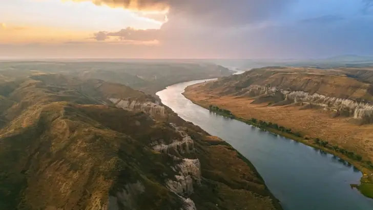
It begins as small mountain streams in western Montana and grows fast as it rolls east and south across the Great Plains. By the time it meets the Mississippi River near St. Louis, it has drained an enormous chunk of the country. Its nickname, The Big Muddy, fits well thanks to the thick sediment it hauls downstream.
This river powered westward expansion long before highways existed. Lewis and Clark followed it into the unknown, relying on its current as their guide. Today, the Missouri is tightly controlled by dams and reservoirs, built to manage floods and support farming.
Mississippi River
The Mississippi River runs about 2,340 miles from Lake Itasca in Minnesota all the way to the Gulf of Mexico. It starts quietly, narrow enough to step across, then builds into a wide, heavy-moving giant. It drains water from nearly half of the lower United States, making it one of the most important river systems on Earth.
This river drives trade in a way few others can match. Barges loaded with grain, fuel, and raw materials still move up and down its channel every day. The Mississippi also shaped music, culture, and towns along its banks.
Engineering projects straightened and deepened parts of the river, which improved shipping but disrupted natural flood cycles and wetlands.
Yukon River
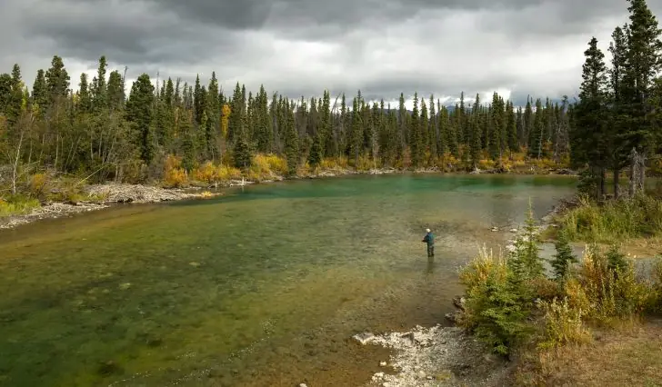
It starts in Canada, cuts through the Yukon Territory, then flows across Alaska before emptying into the Bering Sea. Large sections of it remain remote, wild, and hard to reach, especially compared to rivers in the lower forty-eight states.
Salmon define life along the Yukon. Each year, fish swim more than 1,500 miles upstream to spawn, feeding both wildlife and local communities. During the Klondike Gold Rush, the river became a busy highway for prospectors chasing fortune.
Rio Grande
The Rio Grande runs around 1,759 miles from the mountains of southern Colorado to the Gulf of Mexico. For much of its length, it forms the border between Texas and Mexico. In a region known for heat and drought, this river means survival. Cities, farms, and ecosystems depend on its flow.
Water demand puts constant pressure on the Rio Grande. Heavy irrigation, growing populations, and long dry spells often leave the river running low. In some years, it dries up before reaching the sea.
Colorado River
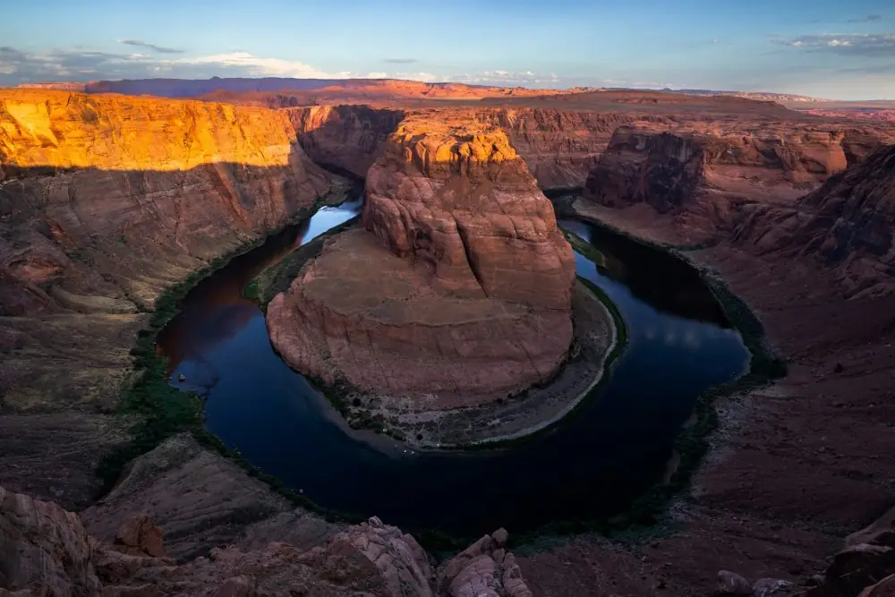
The Colorado River spans about 1,450 miles, starting high in the Rocky Mountains and winding southwest toward Mexico. Over millions of years, it carved the Grand Canyon, one of the most famous natural landmarks on the planet. The river’s power is obvious in the steep walls and layered rock it left behind.
Today, the Colorado River is one of the most controlled rivers in the world. Massive dams supply water to around 40 million people and irrigate millions of acres of farmland. Cities like Las Vegas and Phoenix would struggle to exist without it.